Trails & Inspiration
World's Best Hikes 5: Pico Ruivo, Madeira
In part 5 of our World’s Best Hikes series, SportsShoes athlete Ben Mounsey describes his experience of hiking to the summits of Pico do Arieiro and Pico Ruivo, the highest peaks on the island of Madeira.
MAGICAL MADEIRA
ㅤ
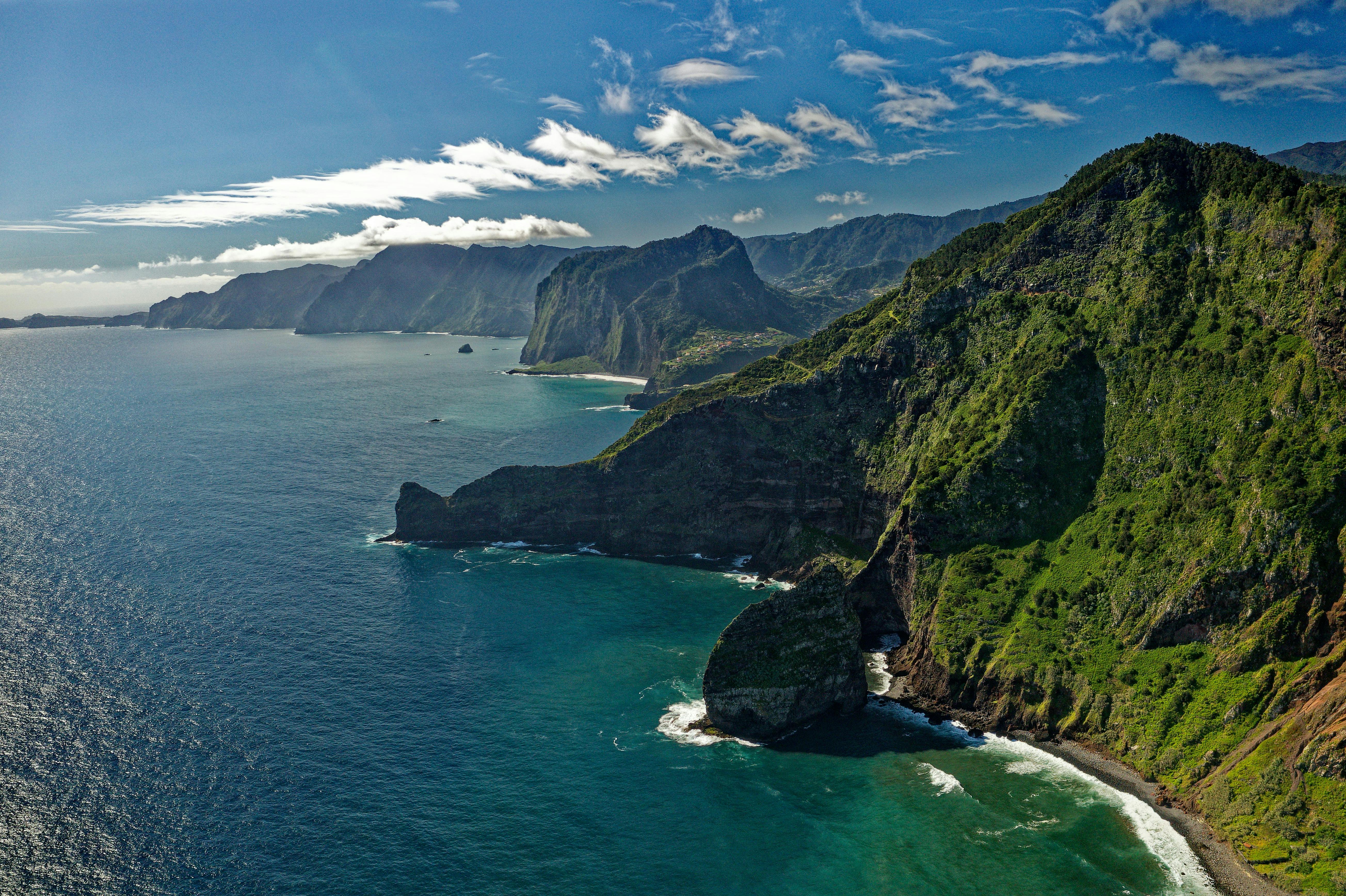
Pictured: Madeira Island, Portugal. Photo by Colin Watts on Unsplash
ㅤ
Steep and rocky, remarkably rugged, rich in natural beauty and varied in colour, it’s easy to see why thousands of tourists’ flock to Madeira each year.
And every adventure here starts before your feet have even touched the ground. Home to one of the smallest runways in the world which, complicated by playful crosswinds, makes both landing and take-off difficult challenges for even the most experienced of pilots. I’d recommend an aisle seat for travellers of a nervous disposition.
Once your toes touch terra firma, it’s time to explore. Madeira is a small island with a big personality and its history and heritage are made of a lot more than just an airport. This volcanic piece of rock is more famous for growing bananas, the striking bird-of-paradise flowers and local rum-based drink Poncha. Water is abundant here, conveyed around the island by an incredible number of man-made channels called levadas, whose vast network of routes can be followed by walkers and runners alike, ranging from gentle strolls to exposed cliff paths and thrilling mountain trails.
When it comes to adventure, Madeira’s visitors are simply spoilt for choice.
PICO RUIVO AND PICO DO ARIEIRO
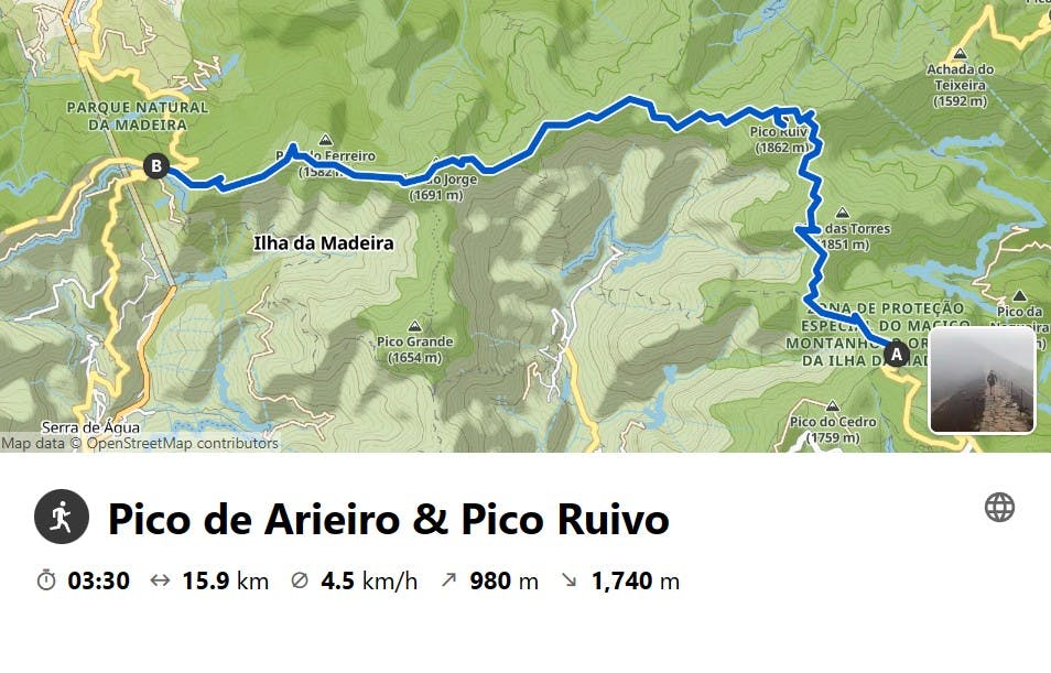
CLICK HERE TO VIEW ROUTE IN KOMOOT
ㅤ
If you’re going to do just one hike on this island, let this be it. The suggested route can either be shortened or lengthened, but either way this section of trail that links Pico do Arieiro to Pico Ruivo, the highest point on the island, is simply breathtaking and an absolute bucket list experience for any serious outdoor enthusiast. But, take heed - no day in the mountains of Madeira can be completed without careful planning and it’s advised to make good use of the bus and taxi services. I would recommend the latter for ease of planning, especially for tackling more complicated or linear routes. Another reason to make use of the taxis is to tap into the knowledge of the drivers themselves, who double-up as the most impressive tour guides. We found them all to be very friendly, helpful and above all else, extremely passionate and knowledgeable about their beautiful island – it’s easy to see why! We befriended our local taxi driver (Nelson) and involved him in the planning of all our adventures – relying on his guidance for the best routes and allowing him to manage our expectations of what could be realistically achieved each day. Nobody knows the island better than the locals, so in my experience it’s important to listen to their expert advice. We also took great pleasure in surprising Nelson every day, by completing some of the island’s most challenging routes in half the predicted times! My competitive nature always prevails! ;-)
ㅤ
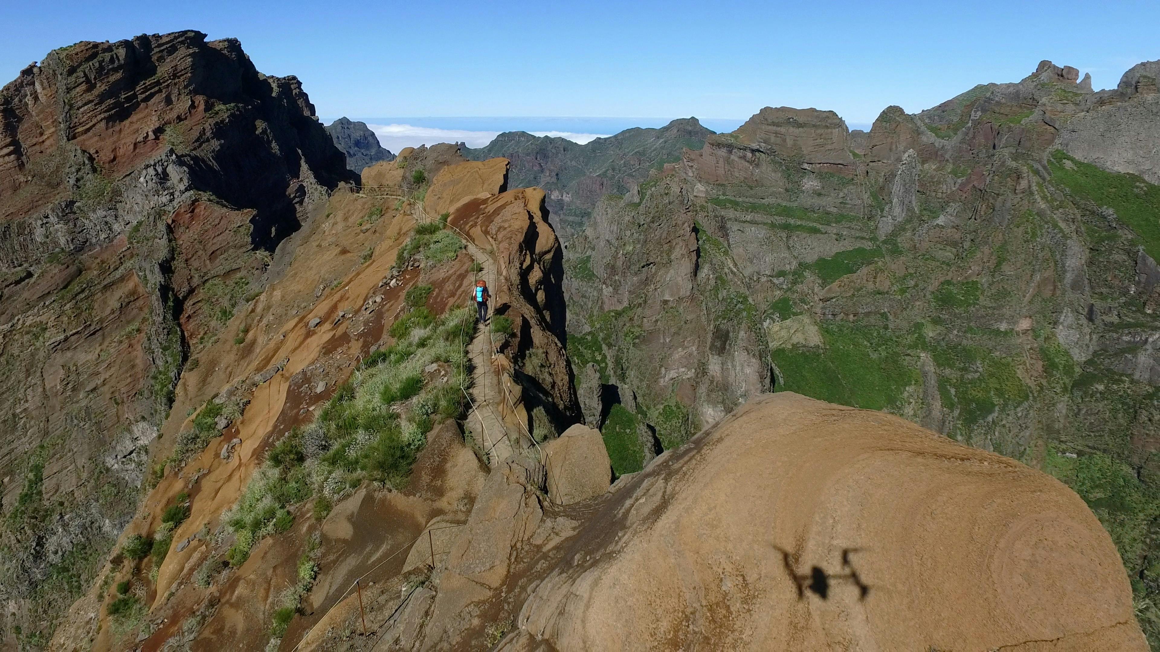
Pictured: An aerial view of the dramatic knife-edge trail between Pico do Arieiro and Pico Ruivo, the highest peaks in Madeira. Photo by Colin Watts on Unsplash
ㅤ
We chose to start our adventure just below the Pico do Arieiro, where Nelson left us in the car park with a short walk to the summit and viewing platform. The plan was to hike to the summit of Pico Ruivo, before descending (and climbing!) to our final destination of Encumeada. Despite starting the route in the mist, which hindered our views from the top, the sheer quality of the trail did not disappoint. We were still able to appreciate our glorious surroundings, as it felt both exciting and atmospheric every step of the way. With sheer drops to either side of the trail, technical terrain, steep and winding stone staircases, it really felt like we were part of an epic adventure from the very start. Plus, each time the mist momentarily cleared, we could fully appreciate the impressive landscape and natural beauty of the mountains. This particular section of trail is extremely technical and sketchy in parts. Only when passing other groups of walkers, were we reminded of the fact that this is a safe and popular well-marked trail.
Linear routes are always best in my opinion, mainly because you’re travelling from A to B and always heading somewhere new and exciting without having to retrace your footsteps. This particular route would not have been possible to complete with the use of a hire car, as we would’ve been forced to plan a much shorter out-and-back route – much easier with Nelson’s taxi service!
The landscape of Madeira is so unique, it’s like nothing I’ve ever experienced before. The centre of the island has much rainfall (hence the many levadas around the island) and the reason why much of it is so very lush and green. Although part of Europe, I actually felt that we were walking in another continent, somewhere like South America.
ㅤ
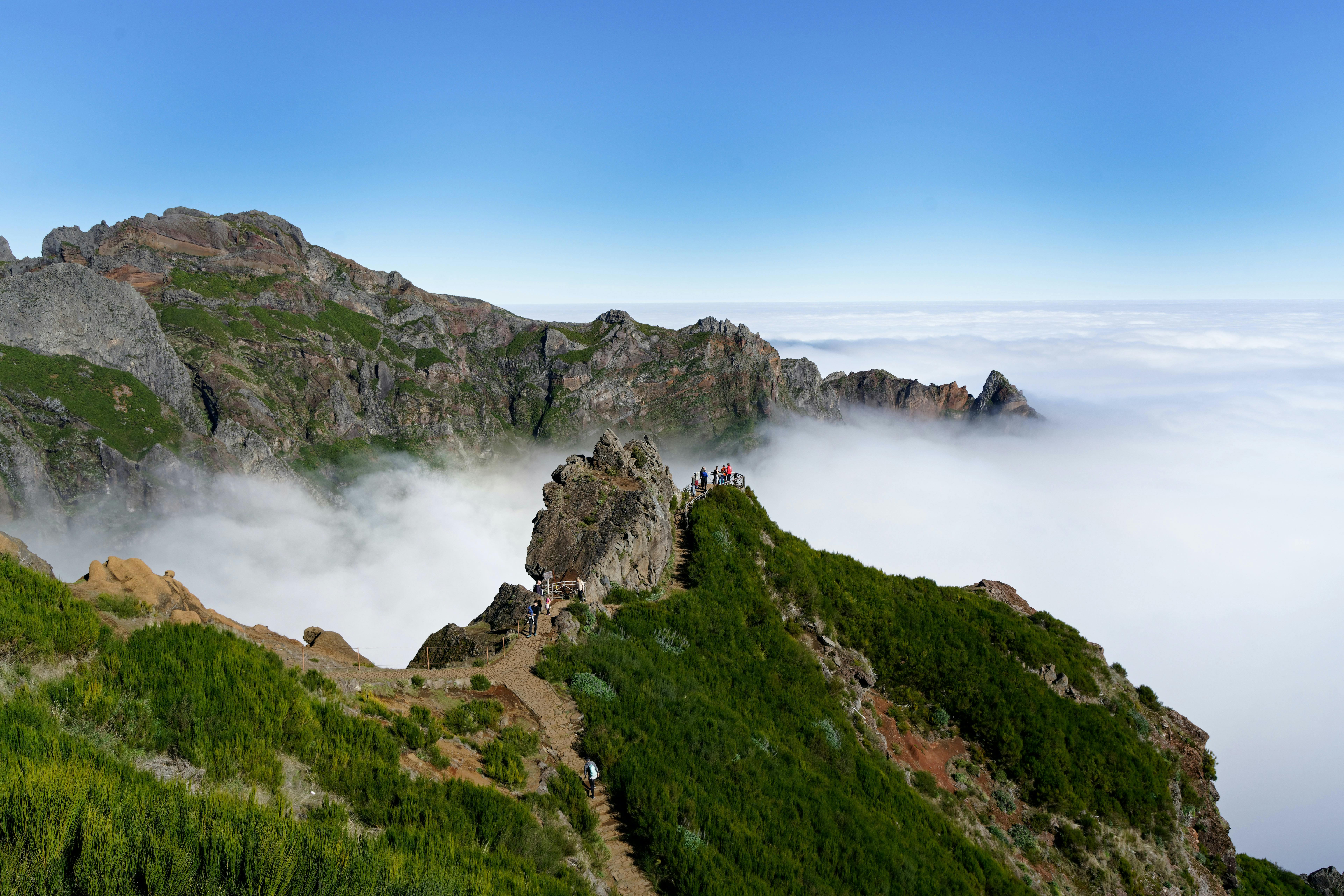
Pictured: An amazing view point on the PR1 trek between Pico do Arieiro and Pico Ruivo in the volcanic mountains of Madeira. Photo by Colin Watts on Unsplash
ㅤ
The many tunnels that cut through the mountains provide the real highlights, some so long and deep that you need a torch to find your way. The paths constantly twist and turn in every direction, offering such a range of viewpoints that it’s difficult to maintain a clear sense of direction. I gave up trying to remember where we’d been, or figure out where we were heading. A landscape so surreal, I felt like we’d walked onto the film set of a Guillermo del Toro movie, or following the creature Gollum to the land of Mordor in Lord of the Rings. The combination of the mist, twisting trails, stone steps and fairy-tale flora and fauna make these trails incredibly mystical and enchanting. This particular section, from Pico do Arieiro to the summit of Pico Ruivo, is quite simply one of the best locations that I’ve ever hiked. The taxi fee was the most expensive we’ve ever paid, but unquestionably the most priceless in terms of its value. This adventure is worth every penny.
The next section of the hike took us West towards Encumeada and here we found the trail much quieter in comparison. Unsurprisingly, most people are more interested in summiting Pico Ruivo from the shortest and most accessible point, which clearly didn’t involve the 7 mile-section of trail that we were now walking. We still passed around 20 people in total, but it certainly felt like we had the path all to ourselves. With less twists and turns and fewer severe drops, for the most part it was easier to walk and certainly easy to navigate. It would be difficult to get lost, although I must remind anyone reading this about the importance of carrying a map and compass. At regular points I used komoot for reference, to gauge how far we had to go and just to double-check that we were on the correct route. There were a couple of times where I struggled to get a signal, so the app wouldn’t load and therefore I had to consult the map for guidance. I felt reassured and relieved that we’d brought it with us.
ㅤ
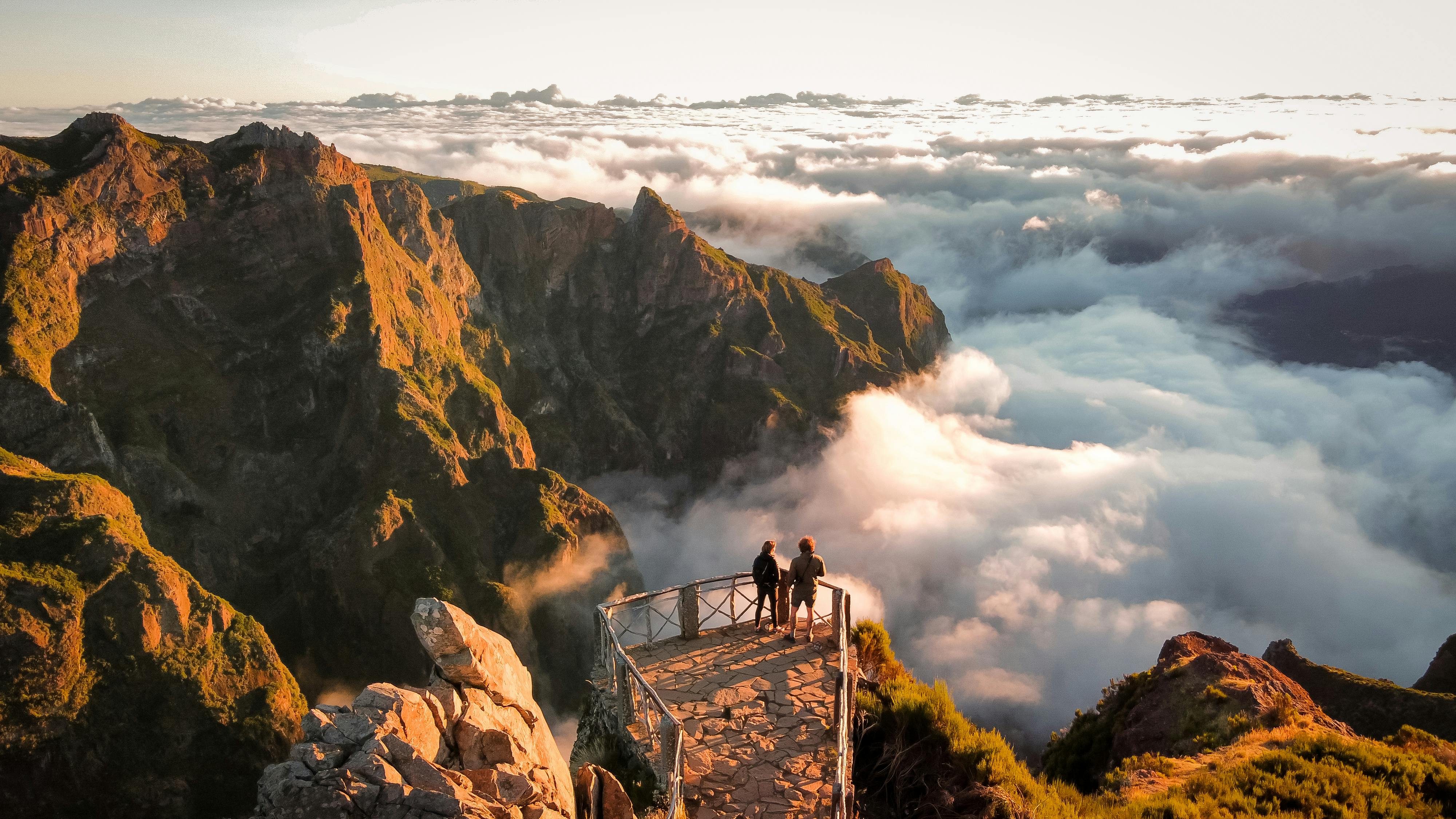
Pictured: Pico do Arieiro, Madeira Island. Photo by Adam Parkinson
ㅤ
Choosing to approach the route in this direction meant that we would be descending more than we would climb – which I’m sure is always a bonus in most people’s eyes. However, be warned – we still climbed almost 1000m in total and this was by no means an ‘easy route’. Something worth knowing if you’re reading this and feeling inspired. You also need to make sure that you’re adequately prepared for a serious day in the mountains. You will need a sturdy pair of hiking shoes, with plenty of grip, support and protection. The trails are very technical in parts and slippery in wet weather – do not attempt this route without wearing suitable footwear. I would recommend a hiking shoe like the Keen NXIS, a wide-fitting shoe with high-levels of comfort and perfectly suitable for this terrain.
Check out my review of the Keen NXIS here.
You will also need to carry a jacket, even if it stays in your rucksack for the entirety of the route, as it does get cold in the mountains and you will be exposed to the weather, especially on the ridges and summits. As previously mentioned, carry a map and compass, ideally even a guidebook, because you cannot and should not solely rely on your smartphone and komoot for directions. I would also advise carrying food and drink, although there is a café just before both the summits of Pico Do Arieiro and Pico Ruivo. It’s best to be over-prepared than under-prepared – don’t be fooled by the weather as it will always be unpredictable in the high mountains.
ㅤ
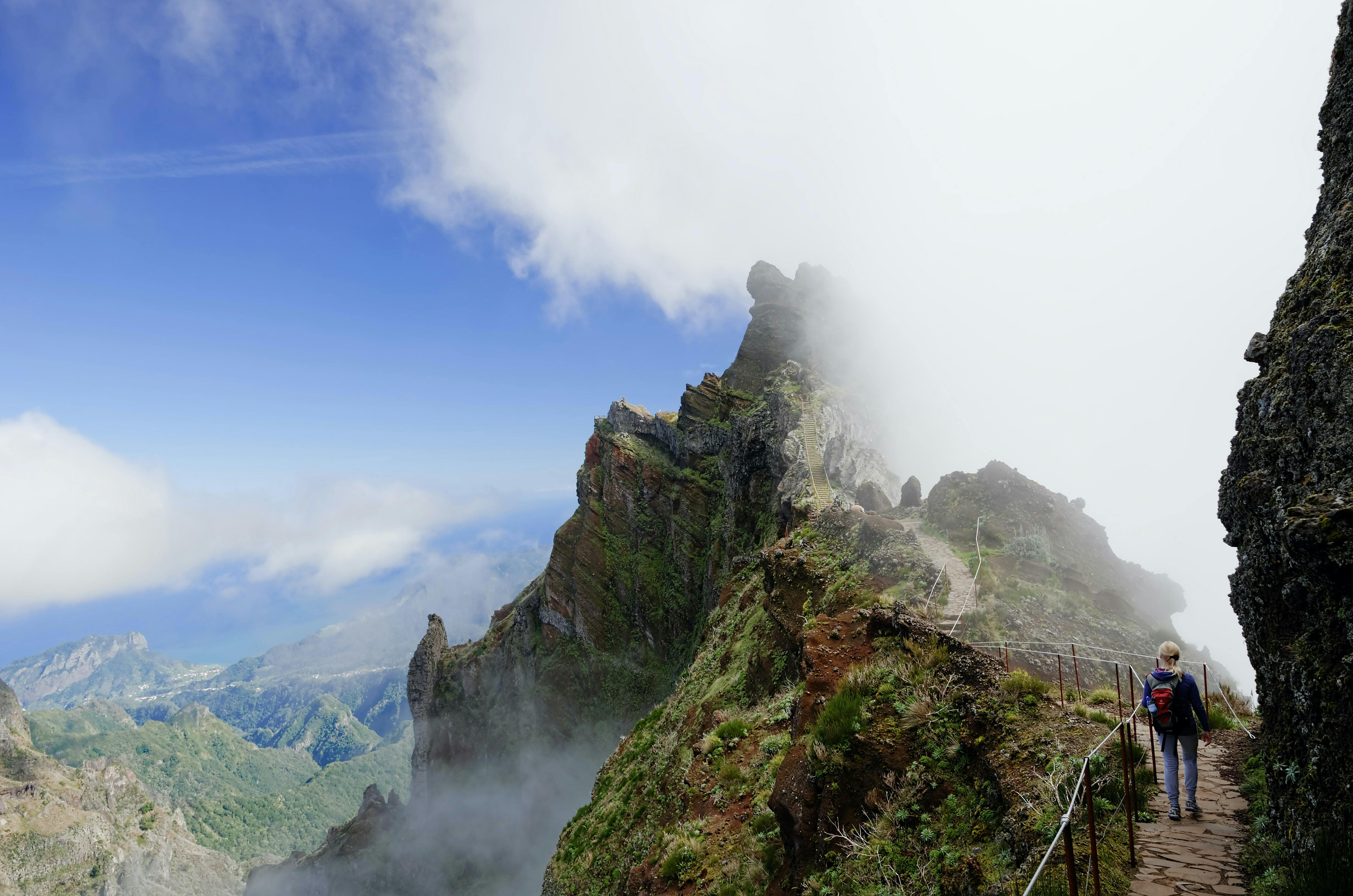
Pictured: Pico Ruivo, Madeira Island. Photo by Krzysztof Sinica on Unsplash
ㅤ
Route alternatives: To shorten the route, you could opt to just go out-and-back from Pico do Arieiro to Pico Ruivo. This section of trail is the route highlight so not to be missed. For anyone feeling ultra-brave, there is also the option to add Encumeada Baixa (out-and-back from Pico Ruivo) to the full linear route suggested in this article. Have a quick look at the komoot map above and this variant should be fairly obvious.
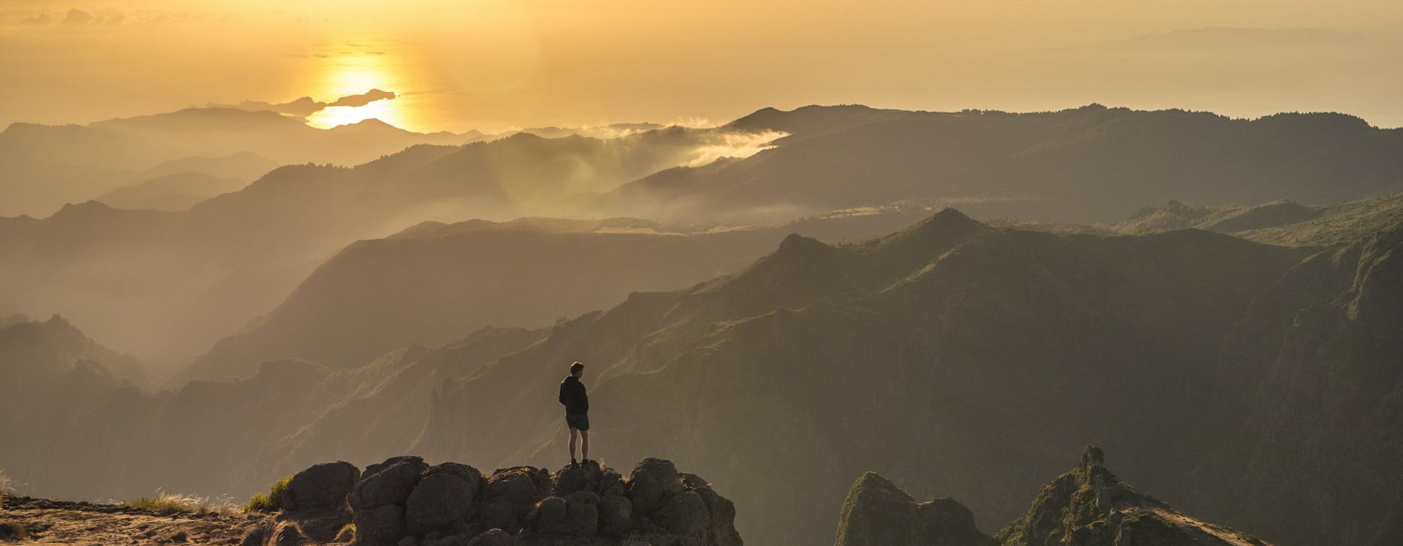
Main image: Pico do Arieiro by Adam Parkinson
Follow Ben and all his outdoor komoot adventures here
Join our Sportsshoes x komoot community now to find inspiration, plan outdoor adventures and share your stories. Because it's no fun standing still.
Check out our Trails and Inspirational category to discover the most amazing trails and hikes in the world, as recommended by our athletes, ambassadors and loyal customers.
Welcome
Discover some of the best trail running spots and locations the world has to offer, handpicked for you by the experts at SportsShoes.com.
Read More
Share this
Featured Articles
View All
